The Kerry Way Walking Guide: 9 Days Around Ireland's Longest Waymarked Trail
Ready to walk it? See our self-guided Kerry Way walking holidays with luggage transfer, hand-picked B&Bs and 24/7 support.
The Kerry Way Walking Guide
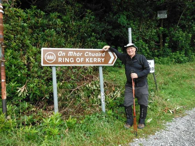
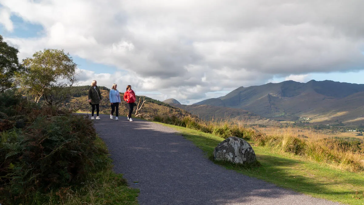
The Kerry Way is the longest waymarked trail in Ireland. The Iveragh Peninsula stretches for two hundred and fourteen kilometres, forming the same loop that tour buses drive on the Ring of Kerry — but you will experience it the way it was meant to be seen. Mountain passes that buses cannot reach. Old green roads above the sea. Lake shores at Killarney that empty out the moment you walk past the gate. This Kerry Way walking guide covers everything you need to know.
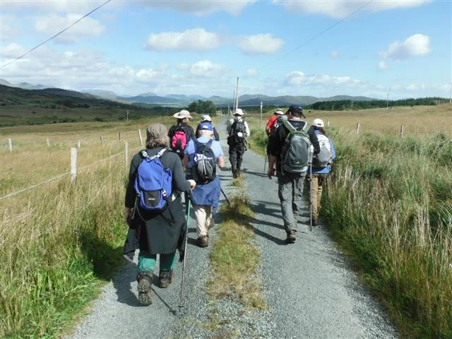
I have walked the Kerry Way more times than I can count. This Kerry Way trail guide is the honest version. The itinerary includes nine walking days, two rest days at the start and finish, daily distances and ascents from the Kerry Way trail, and the small things that matter when you are out there.
Kerry Way complete itinerary at a glance
Day | Stage | Distance | Ascent | Time |
|---|---|---|---|---|
1 | Arrive Killarney | — | — | Rest day |
2 | Killarney → Black Valley | 24 km | +565 m | 6 hrs |
3 | Black Valley → Glencar | 20 km | +795 m | 8 hrs |
4 | Glencar → Glenbeigh | 13 km | +420 m | 5 hrs |
5 | Glenbeigh → Cahersiveen | 31 km | +450 m | 8 hrs |
6 | Cahersiveen → Waterville | 33 km | +270 m | 6 hrs |
7 | Waterville → Caherdaniel | 29 km | +300 m | 5 hrs |
8 | Caherdaniel → Sneem | 18 km | +400 m | 7 hrs |
9 | Sneem → Kenmare | 31 km | +520 m | 8 hrs |
10 | Kenmare → Killarney | 26 km | +630 m | 7 hrs |
11 | Depart Killarney | — | — | Rest day |
Total: 225 km on foot · walking Kerry Way 9 days · about 4,350 m of ascent.
Day 1 — Arrive Killarney
Killarney is the easiest base in Ireland to reach. There is a train from Dublin every two hours and a small airport at Farranfore twenty minutes out. Pick up your route notes, maps and walking books from the hotel and take the rest of the day off. Walk down to the cathedral. Eat early. The first real day starts at the gates of the National Park.
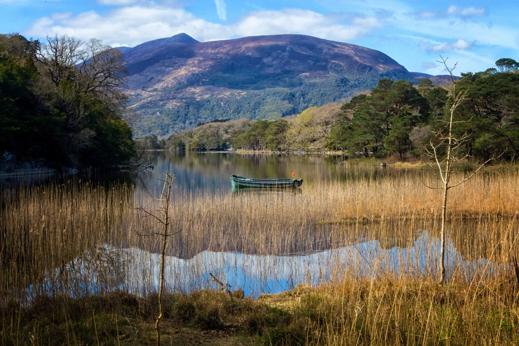
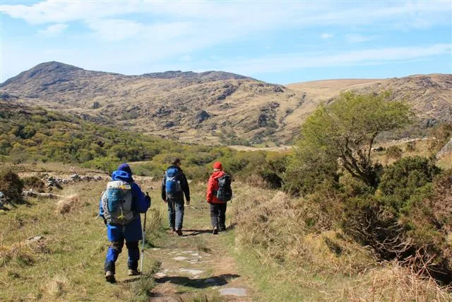
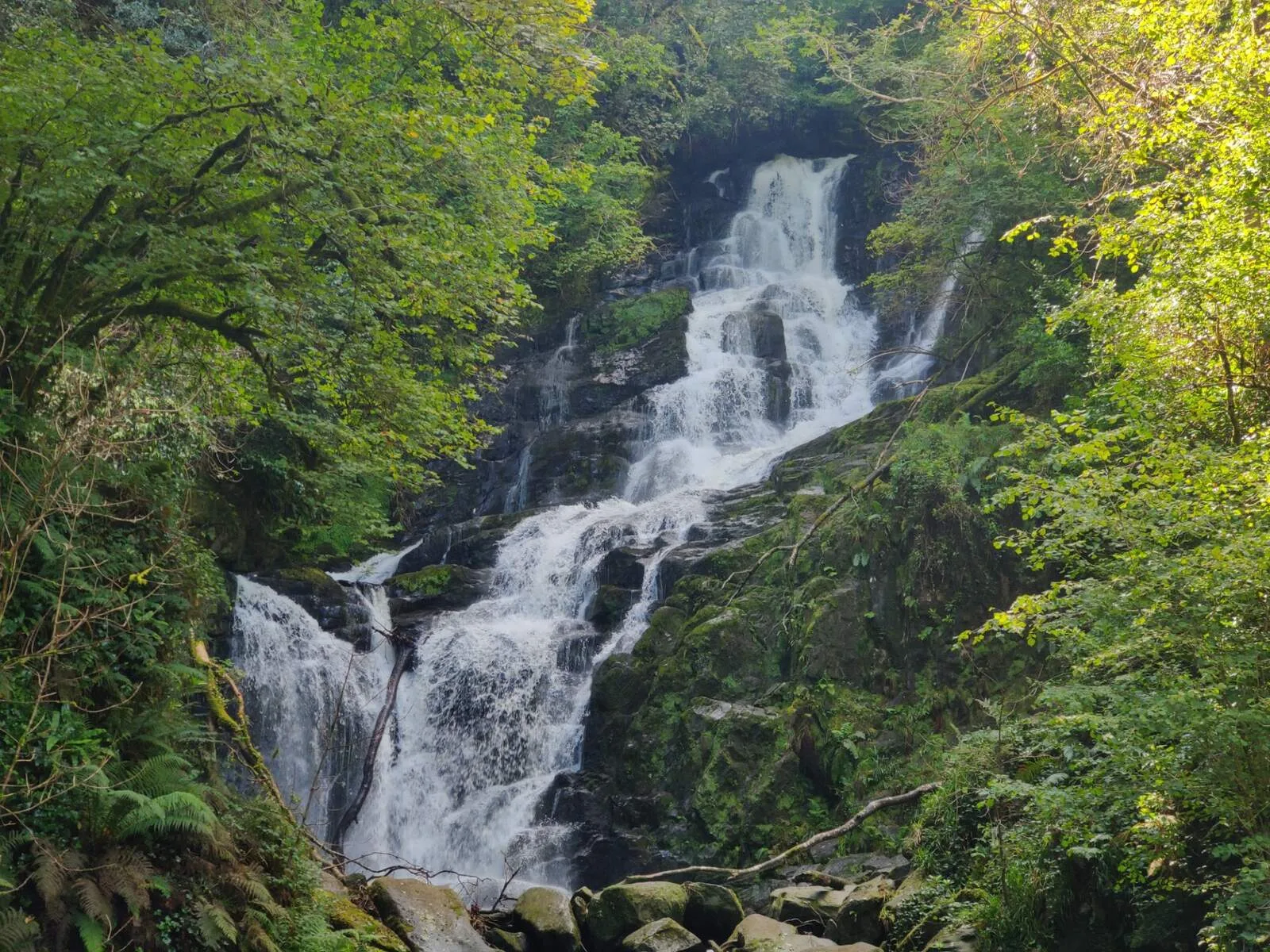
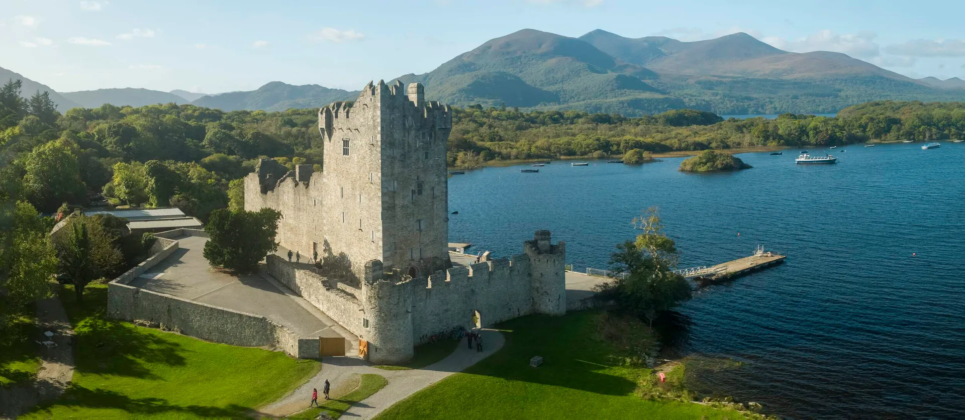
Day 2 — Killarney to Black Valley · 24 km
You leave Killarney through the deer park and Muckross Estate. The trail follows the old road that Queen Victoria's carriage took in 1861. By lunchtime you are at Torc Waterfall and climbing into the Owengarriff Valley. The afternoon is long and quiet. You drop into Black Valley Kerry Way accommodation — no street lights, no mobile signal, the silence I always tell people about. The hostel and B&Bs are spread out along the valley floor.
Day 3 — Black Valley to Glencar · 20 km, +795 m
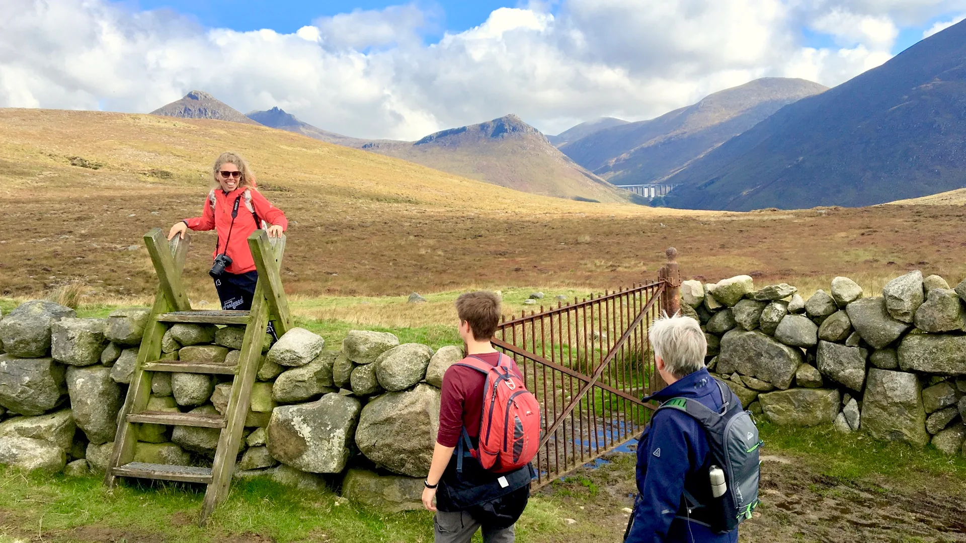
The hardest day on the trail, and the one most people remember in any Kerry Way stage-by-stage breakdown. You climb out of the Black Valley over the Lack Pass with the MacGillycuddy's Reeks on your right—Carrauntoohil is hidden in the clouds most mornings. Then a long descent to Bridia Valley, a second climb to the Lack road, and a slow drop into Glencar. Eight hours on your feet. Take the rest day at Glencar if you have one to spare.
Day 4 — Glencar to Glenbeigh · 13 km
The short day. You will traverse thirteen kilometres of forest and bog roads as you cross Windy Gap. You will be in Glenbeigh by lunchtime with the Atlantic in front of you. Use the afternoon—Rossbeigh Beach is twenty minutes' walk, and the strand goes on for four kilometres. One of the Kerry Way accommodation stops is worth arriving early.
Day 5 — Glenbeigh to Cahersiveen · 31 km
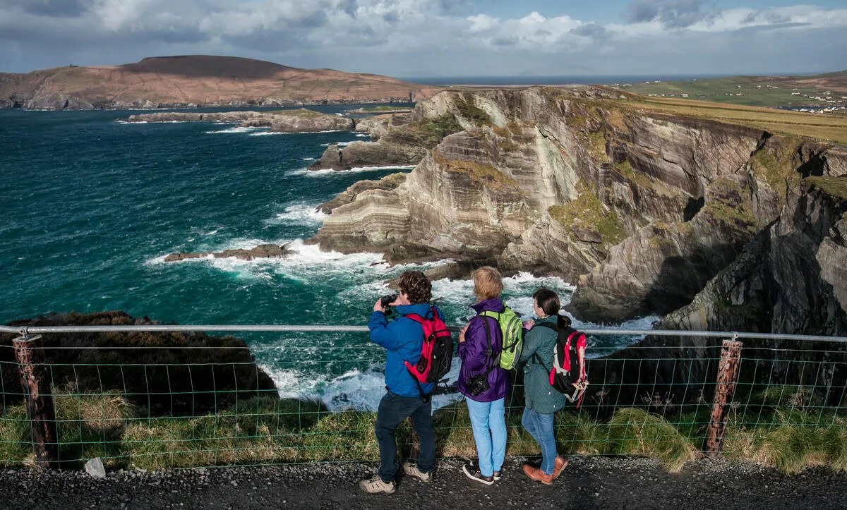
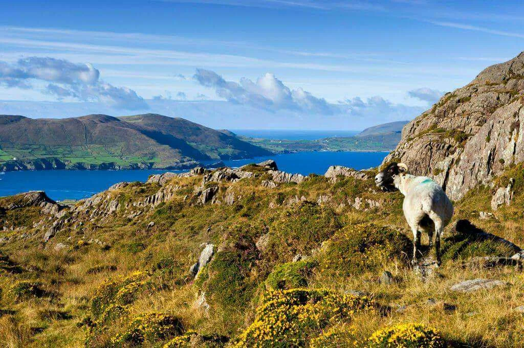
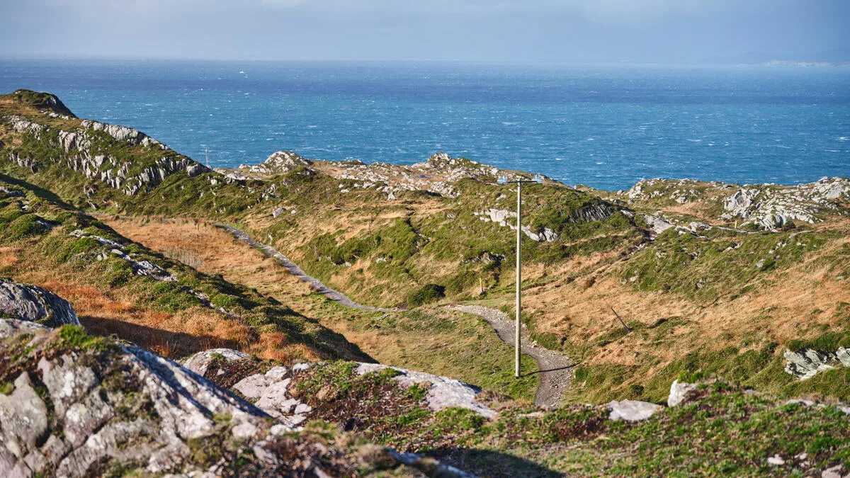
Long day, easy underfoot. You follow the old butter road above Dingle Bay all the way to Cahersiveen. On a clear day, the views across the Dingle Peninsula are the best on the trail. There is one steep climb at Drung Hill and a small café at Mountain Stage that has been there as long as I can remember. Cahersiveen is a proper town — the last big one before Waterville.
Day 6 — Cahersiveen to Waterville · 33 km
The longest day in distance, the gentlest in ascent. Most of it is on tarmac and farm roads around the foot of Knocknadobar. The ascent total is misleading — the climbs are spread thin. Waterville sits on a curve of Bay, where Charlie Chaplin used to spend his summers. The hotel on the seafront still has photographs of him in the bar.
Day 7 — Waterville to Caherdaniel · 29 km
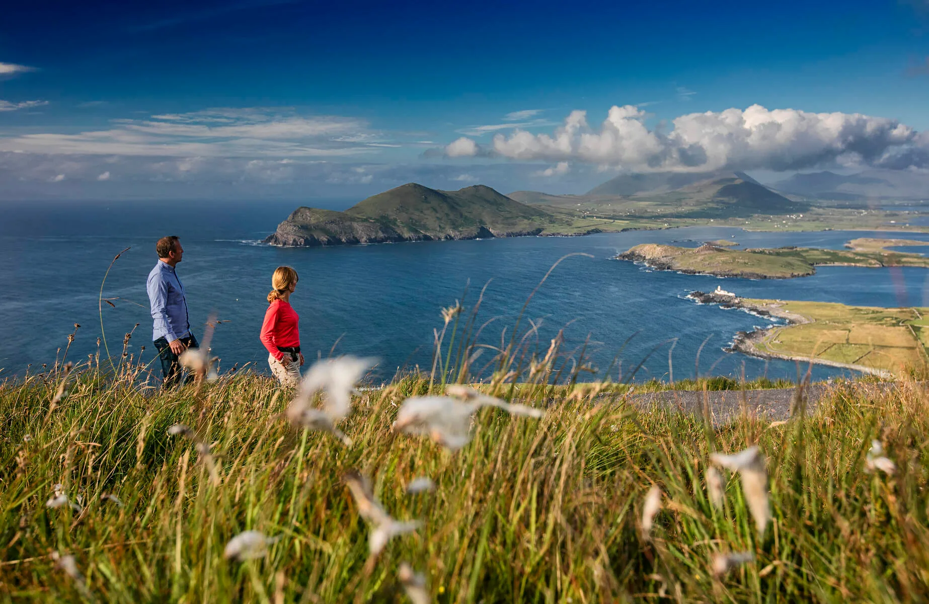
This is the day that people fall in love. You cross the Coomakista Pass, and the Atlantic opens up underneath you — Scariff Island, the Skelligs in the distance if the air is clear. The drop into Caherdaniel takes you past Derrynane, Daniel O'Connell's old house. The beach at Derrynane is one of the best in Ireland. Bring your togs.
Day 8 — Caherdaniel to Sneem · 18 km, +400 m
Short on paper, slow underfoot. The trail climbs over the shoulder of Eagle's Hill and stays high for most of the morning. You can see the Beara Peninsula across the bay from Coad Mountain. Sneem is a postcard village split in two by a river — a brightly painted square on each side. Stop for ice cream at the bridge.
Day 9 — Sneem to Kenmare · 31 km
The forgotten day walking the Kerry Way, day by day. People talk about Black Valley and Coomakista; this one slips by quietly and is one of my favourites. You walk through old oak woods at Tahilla, along the shore of Kenmare Bay, and into Kenmare in the late afternoon. Kenmare itself is the best food town on the route. Book dinner before you start walking.
Day 10 — Kenmare to Killarney · 26 km, +630 m
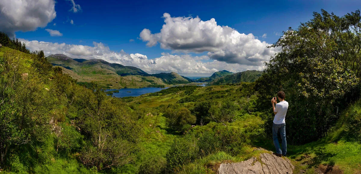
The last day, and a good one. You climb out of Kenmare on an old coach road, cross the Windy Gap (the second one, between Peakeen and Knockanaguish), and drop down into the Killarney lakes from above. The view over the Upper Lake from the Esknamucky stream is the photograph everyone wants. By late afternoon you are walking back through Muckross to where you started.
Day 11 — Depart Killarney
Train back to Dublin or onwards to Cork. If possible, stay an extra night and take the boat through the Killarney lakes to see half the trail you just walked.
What to pack
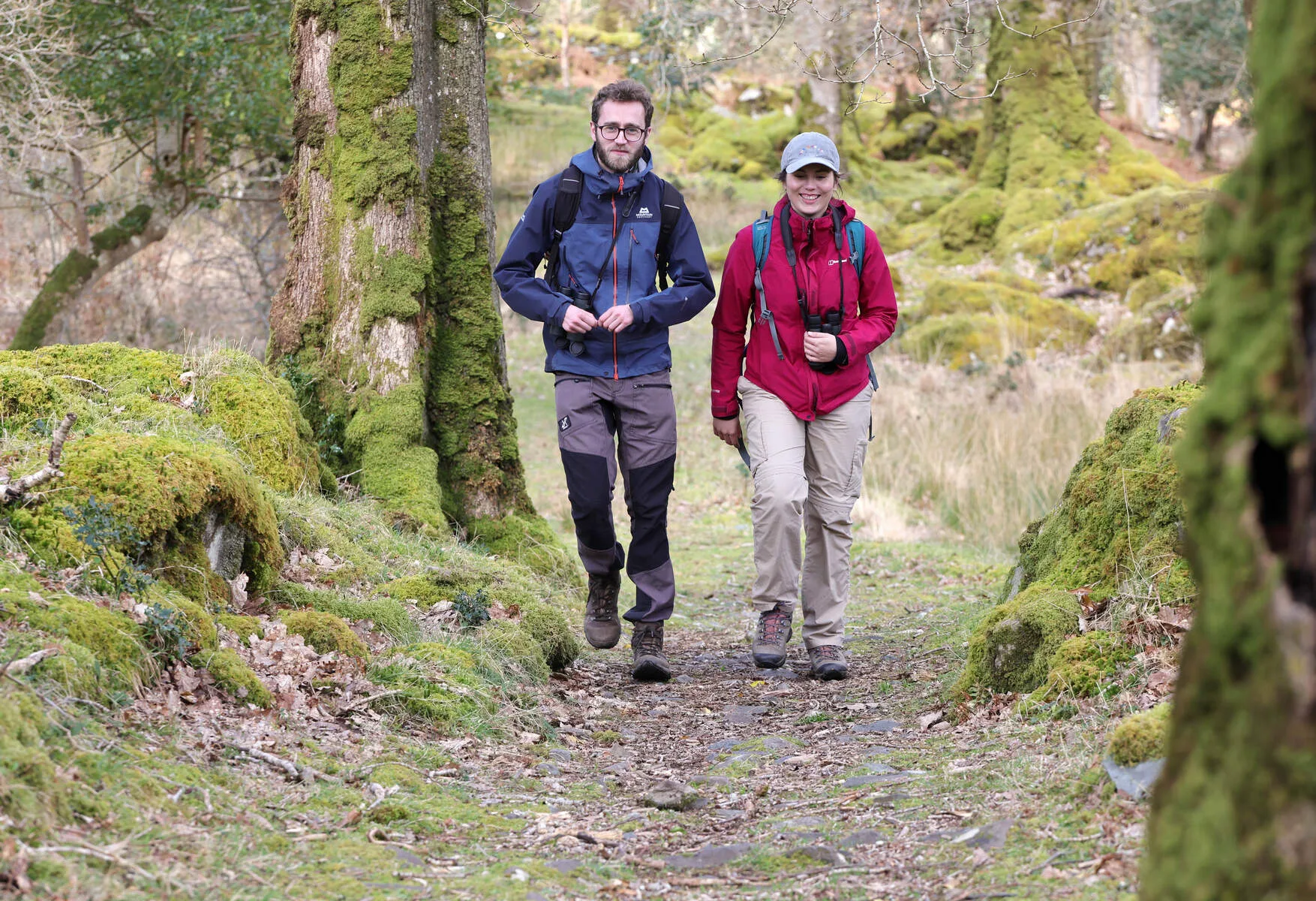
Waterproof boots — broken in, ankle support, with grip. The Kerry Way is wetter than the Dingle Way.
Full waterproofs, jacket and trousers. Not optional.
Three pairs of merino socks. Wash one every night.
Light fleece and a warm layer for evenings in the Black Valley.
One litre of water, refill at every village.
A walking pole — your knees on the descents will thank you on day three and day ten.
Blister plasters. Always.
Self-guided or guided Kerry Way walking?
Most walkers do the Kerry Way self-guided. We book your B&Bs in the right villages, transfer your luggage between them every morning, give you waterproof maps and route notes for every stage in this walking guide, and leave you to walk at your own pace. You sleep in a real bed every night, and someone else carries your bag.
Guided tours run a few times a year for people who want company on the trail or are walking abroad for the first time. Either way, the trail is the same — 214 kilometres of the best walking country in Ireland.
Wicklow Way or Kerry Way?
Not sure the Kerry Way is the one for you? Read our Wicklow Way vs Kerry Way comparison, or browse all of Ireland's National Waymarked Ways.
Kerry Way difficulty: what to expect stage by stage
The Kerry Way is classified as strenuous, but difficulty varies significantly between stages. The first two days (Killarney to Glenbeigh, crossing the Black Valley and Ballaghbeama Gap) are the most demanding — remote, no mobile signal, and the navigation requires attention. The middle stages through Cahirciveen and Waterville are more forgiving. The final stretch into Killarney through the national park is the easiest walking on the entire route.
If you have not done multi-day walking before, the Kerry Way is achievable but you need to prepare. Two or three training walks of 20+ km in the eight weeks before departure, with your actual boots, will make all the difference. Blisters on day two of a nine-day route are miserable — and completely avoidable.
Best time to walk the Kerry Way
May and September are the sweet spots. May has long days, the paths have dried out after winter, and you walk ahead of the summer crowd. September offers settled weather, lower accommodation prices, and the bracken turning copper on the mountain slopes. July and August are busy and wetter than most people expect.
Avoid January to March unless you are an experienced mountain walker. The days are short, some B&Bs close for winter, and the mountain sections carry a real risk of bad weather closing in quickly.
Ready to walk the Kerry Way?
- Kerry Way self-guided walking holiday — B&Bs, luggage transfer and 24/7 support booked for you
- What to pack for walking in Ireland — our full packing guide for multi-day trails
- Wicklow Way vs Kerry Way — not sure which route fits you best?
Frequently Asked Questions
How fit do I need to be for the Kerry Way?
When is the best time to walk the Kerry Way?
Is the Kerry Way harder than the Dingle Way?
Can I shorten the Kerry Way?
Is the trail well marked?
Photo Gallery