Carrauntoohil: Ireland's Highest Mountain—Complete Hiking Guide
Carrauntoohil: Ireland's Highest Mountain—Complete Hiking Guide
Carrauntoohil (1,038 metres) stands as Ireland's highest peak and a genuinely demanding mountain climbing experience. For experienced hikers seeking serious alpine-style challenges, summiting Ireland's supreme peak represents genuine accomplishment. The mountain's multiple routes vary from straightforward hiking to technical scrambling, allowing route selection based on experience and comfort with exposure.
Carrauntoohil at a Glance
- Height: 1,038 m (3,407 ft) — the highest mountain in Ireland
- Where is Carrauntoohil? In the MacGillycuddy's Reeks, the Kerry mountains of the Iveragh Peninsula, County Kerry. Grid reference V 803 844. Killarney is the nearest town.
- How long does it take to climb Carrauntoohil? Between 4 and 7 hours return, depending on route. The two direct routes take 4–5 hours; the longer horseshoe routes take 6–7.
- Grade: Strenuous on every route. There is no easy way up Carrauntoohil.
- Is it in Killarney National Park? No. The Reeks lie outside the park boundary and are privately owned, largely as commonage.
This comprehensive guide covers all Carrauntoohil routes, explains the mountain's challenges, details what to expect on summit day, and helps you prepare for this serious Irish mountain experience.
Why Carrauntoohil Matters
Carrauntoohil is genuinely Ireland's highest mountain—not just marginally, but conclusively. The mountain presents significant technical challenge despite modest absolute elevation. The steep terrain, rock scrambling requirements, and exposure (especially on certain routes) create conditions demanding serious respect and preparation.
For many Irish walkers, summiting Carrauntoohil represents a watershed moment. It's dramatic enough to feel genuinely mountaineering, yet achievable for experienced hill walkers willing to invest preparation and embrace the challenge.
The Five Carrauntoohil Routes
The Reeks Route (8 km, 4–5 hours, Strenuous)
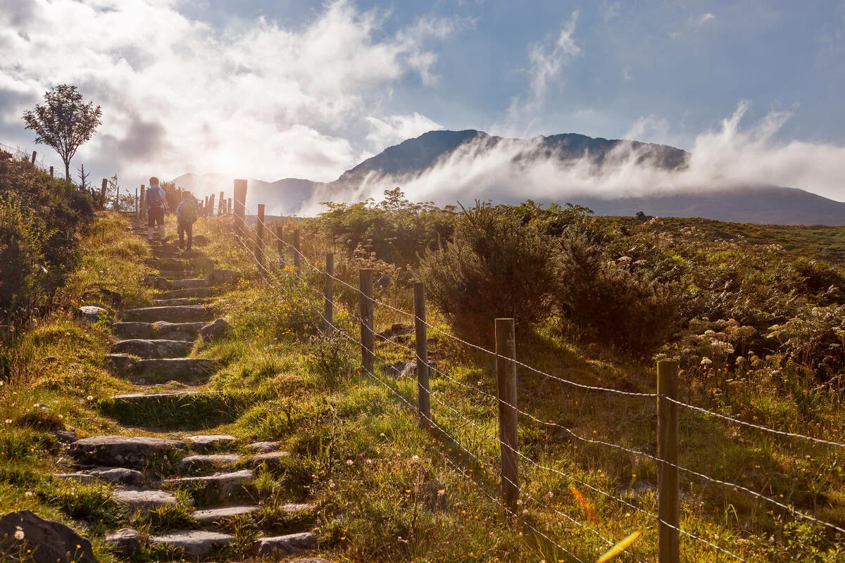
The most popular route and arguably the most suitable for experienced hill walkers lacking technical climbing. The route ascends from the Gap of Dunloe, following a well-established path with occasional scrambling. Exposure exists, particularly on narrow ridge sections, but the route avoids extreme vertical drop-offs.
The ascent gains significant elevation quickly. The initial sections climb steeply; the final summit cone is exposed but manageable. Descent is straightforward but steep—careful footwork prevents slips.
Why walkers choose it: Established route, good guidebooks available, achievable for fit hill walkers with mountaineering experience.
Devil's Ladder (8 km, 4–5 hours, Strenuous)
A steep gully climb on the mountain's southwest face. The route is genuinely steep—climbing feels serious despite not being technical rock climbing. The "ladder" consists of a rocky gully with exposed scrambling throughout.
The route is shorter than others but feels significantly harder due to steepness and unrelenting scrambling. Weather matters enormously—a wet gully becomes genuinely dangerous.
Why walkers choose it: Shortest route, genuine mountaineering feeling, summit arrival feels earned.
Caher Route (12 km, 6–7 hours, Moderate–Strenuous)
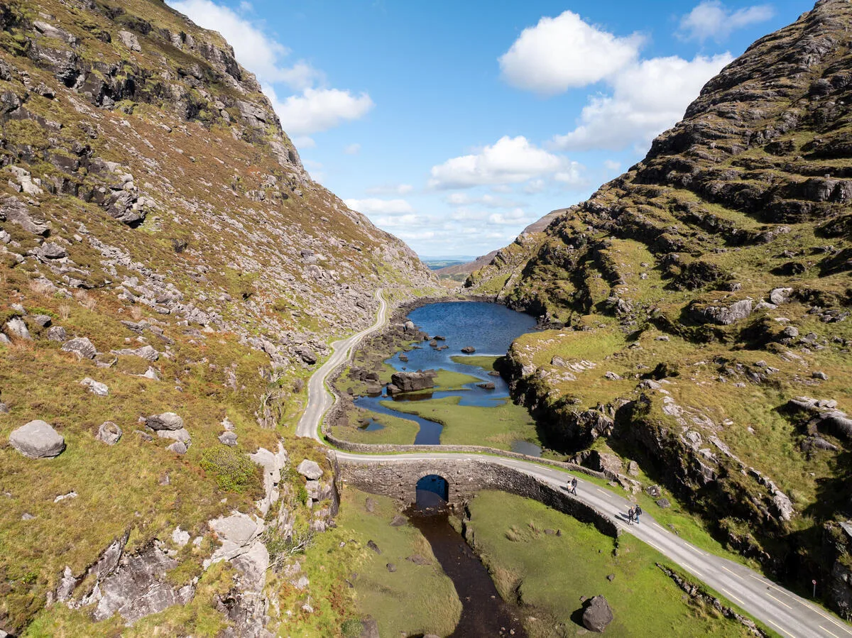
The longest route but with lower overall technical difficulty. Starting from Caher near Killarney, the route follows well-established paths across the Twelve Bens plateau before ascending Carrauntoohil's eastern side.
The mountain gain is less steep than other routes. The ascent is sustained but never dangerously steep. The trade-off is distance—this is a full, serious day's hiking.
Why walkers choose it: Fewer technical challenges, lower exposure, more gradual climbing, though longest overall.
Skellig Route (10 km, 5–6 hours, Strenuous)
A remote approach from the west via Skellig mountain. The route is less crowded and offers genuine wilderness character. Exposure and scrambling are significant—this is serious climbing, not a pleasant hill walk.
The route demands good navigation; mist makes route-finding difficult. The mountain's western approach is genuinely wild—experiencing this feels like genuine mountaineering.
Why walkers choose it: Solitude, genuine wildness, serious challenge.
Tourist Route (9 km, 5–6 hours, Moderate–Strenuous)
Despite the dismissive name, this route is perfectly legitimate. Starting from Cronin's Yard car park, the path ascends steadily with occasional scrambling. The route is well-established and straightforward. "Tourist" simply means it's popular and less intimidating than other options.
Why walkers choose it: Well-marked, established logistics, suitable for strong hill walkers seeking solid mountain experience without extreme exposure.
Pre-Summit Preparation
Physical Training (8–12 weeks)
Carrauntoohil demands serious fitness. Training should include:
- Long walks: Regular 12–15 km walks with 500+ metres elevation gain
- Hill repeats: Multiple ascents of local hills to build leg strength
- Endurance: Longer days (5–6 hours) to build capacity
- Descending: Specific work on descent strength (often harder than climbing)
Most walkers need 8–12 weeks of serious training to prepare properly.
Equipment
- Walking boots: Good ankle support essential; test on shorter walks first
- Waterproof jacket and trousers: Essential—weather changes rapidly
- Warm layers: Fleece or merino wool
- Hat, gloves: Even summer mornings are cold at altitude
- Backpack: 20–25 litre capacity
- Water bottles: Carry 2+ litres
- Food: High-energy snacks, lunch
- Map and compass: Detailed 1:25,000 map essential; GPS backup helpful
- First aid kit: Basic supplies
- Headtorch: Even for daylight hikes (emergencies extend day)
Acclimatization
Ireland's mountains don't cause altitude sickness (elevation is insufficient), but sleeping well the night before and arriving well-hydrated matters for performance.
Summit Day: What to Expect
Timing
Start early—pre-dawn departure optimizes daylight hours and reduces weather risk. Most routes have 4–7 hours of climbing; factor in rest/food breaks and descent time.
Expectation: Leave at 6–7 am, summit by 11 am–noon, return by 3–4 pm.
The Physical Experience
Carrauntoohil is genuinely hard. Expect:
- Steep climbing: Sustained elevation gain challenges cardiovascular fitness
- Scrambling: Hand-use climbing (not rock climbing, but more than walking)
- Exposure: Drop-offs exist; height awareness matters
- Wind: High altitude wind is genuine challenge
- Weather changes: Conditions can shift within minutes
- Emotional challenge: Steepness and exposure push psychological comfort zones
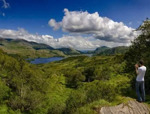
The summit view (on clear days) is genuinely rewarding—you're looking at Irish landscape from its highest point. The sense of accomplishment is profound.
Return and Recovery
Descent is often harder on legs and knees than climbing. Descending carefully prevents injuries. Many walkers underestimate descent difficulty.
Post-hike: Rest, eat properly, hydrate. Your legs will be genuinely tired for 2–3 days following.
Safety Considerations
Weather
Carrauntoohil's exposure makes weather critical. Conditions suitable for lower mountain walking can become dangerous at altitude. Always check forecasts; don't summit in poor visibility or dangerous wind.
Check the mountain weather for Carrauntoohil specifically, not Killarney. The town sits at sea level and the summit is over a kilometre above it — a mild, still morning in Killarney can be near-freezing with 50 km/h wind on the ridge. Met Éireann publishes a dedicated mountain forecast covering the Reeks, and it is the one to read. Expect the summit to be roughly 6–7°C colder than the valley on a normal day, before windchill.
Cloud base matters more than rain. Carrauntoohil spends a great many days with its top in cloud, and the Devil's Ladder in particular is a poor place to be navigating blind. If the forecast cloud base sits below 900 m, consider one of the lower Kerry mountains instead and save the summit for another day.
Navigation
Carry detailed maps. Most routes are established enough to find in clear visibility, but poor visibility makes navigation genuinely difficult. Fog can descend suddenly—this is not metaphorical danger.
Exposure and Scrambling
Ropes are not required for any standard route, but exposure (particularly on Reeks and Skellig routes) demands sure-footedness. Falls are possible on steep terrain.
Solo Hiking vs. Groups
Buddy system is sensible. Walking with companions provides safety redundancy; injury to solo hiker in remote area is genuinely serious.
The Psychological Dimension
Carrauntoohil changes how you experience Irish mountains. Standing on Ireland's highest point, you're literally at the top—what comes next? This natural culmination point means many repeat-visit walkers eventually attempt Carrauntoohil.
The mountain is achievable for experienced, fit hill walkers willing to invest training and embrace the challenge. It's not for casual walkers, but it's not a mountaineering expedition either.
Carrauntoohil is the biggest day out in Kerry, but it is not the only serious mountain walking in the west — the best hikes in Connemara offer comparable views for rather less commitment.
Frequently asked questions
How high is Carrauntoohil?
Carrauntoohil is 1,038 metres (3,407 feet) — the highest mountain in Ireland. It is the highest of the three Irish peaks over 1,000 m, all of which are in the MacGillycuddy's Reeks.
Where is Carrauntoohil in Ireland?
In the MacGillycuddy's Reeks on the Iveragh Peninsula, County Kerry, in the southwest of Ireland. Killarney is the nearest town and the usual base. The summit grid reference is V 803 844.
How long does it take to climb Carrauntoohil?
Four to seven hours return for a reasonably fit walker. The Devil's Ladder and Reeks Route take 4–5 hours over about 8 km; the Caher Route is 6–7 hours over 12 km; the Skellig and Tourist routes fall in between at 5–6 hours. Add time for photographs, lunch and the descent being slower than you expect.
What is the easiest route up Carrauntoohil?
There isn't an easy one — every route is graded strenuous. The Caher Route and the Tourist Route are the least technical, avoiding the loose ground of the Devil's Ladder, but both are longer days. Anyone telling you there is a straightforward walk to the top of Carrauntoohil has not been up it.
Is Carrauntoohil in Killarney National Park?
No, and this is a common mix-up. The MacGillycuddy's Reeks sit outside the national park boundary and are in private ownership, much of it commonage. There is no entry fee and access has long been permitted by custom, but you are on private land — organised groups are asked to notify the MacGillycuddy's Reeks Mountain Access Forum. Killarney National Park itself is a separate area to the east, with its own network of lower trails.
What is the weather like on Carrauntoohil?
Colder, wetter and far windier than the valley. Reckon on the summit being 6–7°C below Killarney before windchill, and expect cloud on the top for a good proportion of the year. Read Met Éireann's mountain forecast rather than the town forecast, and treat a cloud base below 900 m as a reason to pick a different hill.
Do I need a guide to climb Carrauntoohil?
Not legally, but it is a genuine mountain with a real accident record, and the Devil's Ladder in descent catches people out every year. If you are not confident navigating on a compass bearing in poor visibility, go with someone who is. Our own Kerry walking holidays keep to the waymarked Kerry Way rather than the high Reeks — different sort of week, and no scrambling.
Ready to Summit Ireland's Highest Peak?
If you're an experienced hill walker seeking serious challenge, Carrauntoohil is genuinely rewarding. Plan 8–12 weeks of training. Choose your Kerry Way walking guide or route based on experience and comfort. Prepare thoroughly. Then head to County Kerry and summit Ireland's supreme peak.
Consider joining one of our guided experiences, like the Kerry Way Hiking Tour 8 Days, to explore the broader MacGillicuddy Reeks region. Or explore our guide to the best hikes in Killarney National Park for other serious mountain experiences.
The view from the top is worth the effort.
Photo Gallery