Challenging Hiking Routes Ireland: The Hard Climbs Worth Taking
If you've ticked off the easier loops and you're after something with more bite, Ireland delivers. The country packs a serious range of challenging hiking routes Ireland walkers return to year after year — quartzite peaks in Wicklow, the highest point in the country down in Kerry, sea cliffs that drop straight into the Atlantic in Mayo. I'm Cliff, and I've walked most of them. Below are the routes I send experienced hikers to first, plus a few softer scenic options if your legs need a break the next day.
Best Challenging Hiking Routes in Ireland
These are the most demanding trails the country offers — the ones that ask something of you. Long days, real ascent, and weather that can turn in twenty minutes.
Bring a map, layers, and time.
The Great Sugar Loaf, County Wicklow
The Great Sugar Loaf is the gateway peak on most lists of hard hikes Ireland walkers tackle first. The summit cone is bare quartzite — it looks like a small Matterhorn from the road, and the last 200 metres needs your hands as well as your feet.
The loop from the Red Lane car park is about 3.3 miles (5.3 km) and most people are up and down inside two and a half hours. On a clear day you can see across to the Mournes in the north.
Easy access from Dublin, but don't underestimate the wind on the top. For more options in the area, see our guide to Wicklow Mountains walking routes.
Carrauntoohil, County Kerry
Carrauntoohil is the highest mountain in Ireland at 1,038 metres (3,406 feet). The classic ascent is up the Devil's Ladder from Cronin's Yard — about 12 km (7.5 miles) return, with loose scree on the climb and a long pull back down through the Hag's Glen.
I'd only send confident hill walkers up this on their own. If the cloud is in, hire a local guide.
The view from the summit cross on a settled day is one of the great rewards in Irish hiking. The Carrauntoohil hike is a full day — plan on 5 to 7 hours return, including stops.
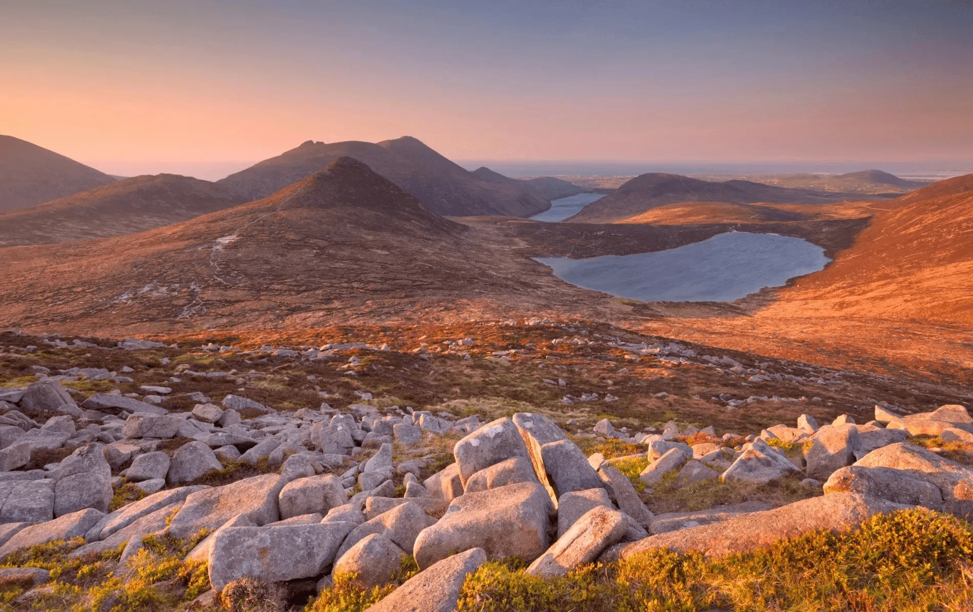
Mweelrea, County Mayo
At 814 metres (2,671 feet), Mweelrea is the highest peak in Connacht and one of the toughest day walks in the west. There are no waymarks, the slopes are steep on every side, and the ground is wet for most of the year.
A map, compass, and decent visibility are non-negotiable. Most hikers take the route from Delphi up the Ramp into the corrie.
Save it for a clear day — the view down to Killary Harbour is worth the climb. This is one of the most technically demanding challenging hiking routes Ireland has on offer.
Mt Errigal, County Donegal
Errigal is the high point of Donegal at 751 metres (2,464 feet) and one of the most photographed mountains in the country. There's a clear trail from the layby on the R251 now, with stone steps for the steepest section.
Most walkers are at the top in about ninety minutes. The final ridge — the One Man's Pass — is narrow and exposed, so it's not one for windy days.
On a still morning it's a magic spot. The quartzite scree glows in the low light.
Lugnaquilla, County Wicklow
At 925 metres (3,035 feet), Lugnaquilla is the highest peak in Leinster. Most hikers start at Baravore in Wicklow Mountains National Park.
There are no marked routes to the summit — you're navigating across open moor and bog, often in poor visibility. Plan on 5 to 8 hours for the full day.
The army still uses the western slopes for live firing, so always check the firing schedule before you set out. This is a serious Wicklow hike that demands proper preparation.
Key Stats: Challenging Routes Comparison
Mountain | Height | Distance (return) | Time | Difficulty |
|---|---|---|---|---|
Great Sugar Loaf | 501 m | 5.3 km | 2–3 hours | Moderate |
Carrauntoohil | 1,038 m | 12 km | 5–7 hours | Hard |
Mweelrea | 814 m | 10 km | 5–6 hours | Hard |
Mt Errigal | 751 m | 7.5 km | 3–4 hours | Moderate–Hard |
Lugnaquilla | 925 m | 14 km | 5–8 hours | Hard |
Scenic Hiking Routes in Ireland
Not every day has to be a sufferfest. These are softer routes that still deliver the views — good for a rest day or for hikers who want the scenery without the scramble.
Glenbarrow Waterfall Loop, County Laois
Tucked into the Slieve Bloom Mountains, this 5 km loop follows the River Barrow through old oak and birch woodland to a series of cascades. It's a forgotten corner of Ireland and you'll often have it to yourself, even on a Saturday in summer.
Perfect for a half-day walk if you're driving between Dublin and the west.
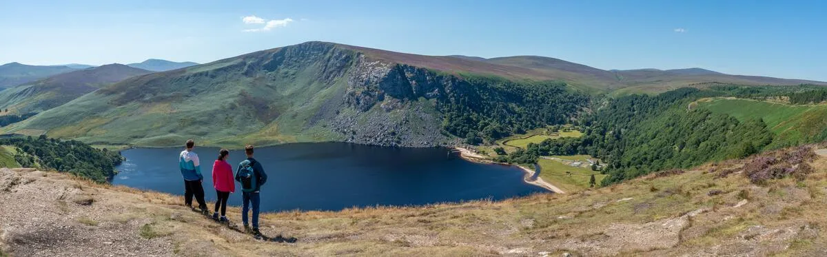
Ballinastoe to Djouce, County Wicklow
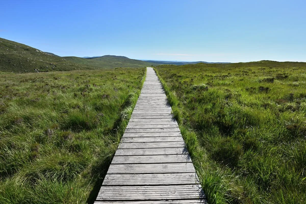
This is a 17 km (10.5 miles) loop through Ballinastoe Woods and up over White Hill and Djouce. The boardwalk section across the bog is famous — it protects the peat and gives you a clean line right to the summit.
You'll cross the Wicklow Way for part of the route. Around six hours total.
The view down to Lough Tay (the so-called Guinness Lake) is one of the best in the east. This is one of the gentler Wicklow hikes that still rewards effort.
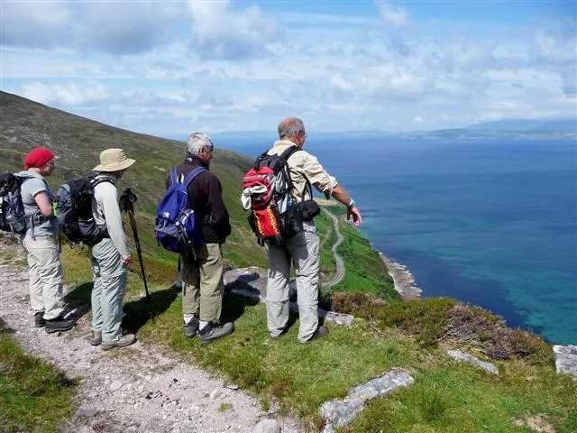
Croaghaun Cliffs, County Mayo
Croaghaun on Achill Island has the highest sea cliffs in Ireland — 688 metres (2,257 feet) straight down to the Atlantic. The walk in from Keem Bay is about 8 km (5 miles) return and takes around four hours.
You're on grass and bog the whole way, no scrambling, but stay well back from the edge. There's no fence and the wind comes off the sea hard.
Lough Ouler Loop, County Wicklow
The heart-shaped lake under Tonelagee draws a lot of hikers, and the Insta crowd has found it too. The route from the Wicklow Gap is 9 km (5.6 miles) return, with boggy sections that stay wet most of the year.
Wear gaiters. The view back down on the lake from the ridge is the picture you came for.
Bray to Greystones Cliff Walk, County Wicklow
If you want a coastal walk you can do without big boots, this 7 km (4.3 miles) path between two seaside towns is hard to beat. You start at Bray seafront, climb around Bray Head, and finish for chips in Greystones.
The DART runs you back to your car. Watch for choughs, fulmars, and the occasional seal in the surf below.
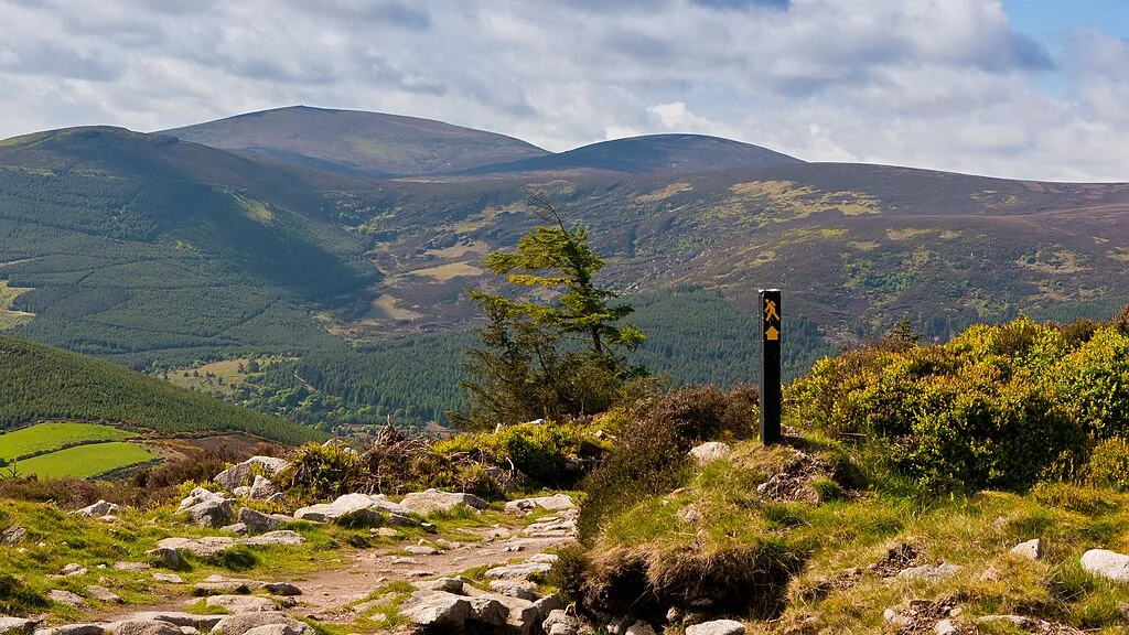
Self-Guided Walking Tours: The Wicklow Way
The Wicklow Way is Ireland's first and oldest waymarked long-distance trail — 127 km (79 miles) from Marlay Park in south Dublin down to Clonegal in Carlow. You don't need to be an elite hiker to walk it, but the days are long and there's plenty of climb.
Most walkers take 5 to 8 days. We organise the accommodation, luggage transfer between B&Bs, and route notes so you only carry what you need for the day.
Have a look at our 5-day Wicklow Way walking holiday for the highlights section through the heart of the mountains. It's a supported way to experience some of the best Irish mountain walks without the logistics.
Essential Tips for Challenging Hiking Routes in Ireland
A few things I tell every hiker before they head into the hills here:
Check the forecast the morning of the walk, not the night before. Mountain weather in Ireland turns fast. Met Éireann publishes forecasts specific to hill walkers.
Bring a paper map and a compass. Phone batteries die in the cold and there's no reception above 500 metres in most ranges. Know how to use both before you need them.
Tell someone your route and your expected finish time. Mountain Rescue is voluntary here and they'd rather hear from you early than search for you late.
Wear proper boots with ankle support. The ground is rougher than it looks, especially in the bog. Twisted ankles end more days than bad weather.
Carry more water than you think. Even in cool weather you'll go through 1.5 to 2 litres on a full day. Streams can be contaminated by sheep.
Pack emergency gear. A whistle, headtorch, foil blanket, and basic first-aid kit weigh almost nothing and can get you out of serious trouble.
If you'd rather not plan the logistics yourself, our best hiking trails in Ireland for 2026 guide pulls together the routes we run as supported tours, with daily distances, ascent, and grading.
For more on preparation, see our complete backpacking checklist and weather preparation guide.
TL;DR: Quick Summary
Challenging hiking routes Ireland offers punch well above the country's size. Carrauntoohil (1,038 m) is the highest and most popular hard day. Mweelrea (814 m) is technically the toughest because of the lack of paths and steep, wet ground. Lugnaquilla (925 m) is the highest in Leinster and demands solid navigation. Errigal (751 m) and the Great Sugar Loaf (501 m) are shorter but exposed. All require proper gear, map skills, and weather judgment. Scenic alternatives include Croaghaun Cliffs, Lough Ouler, and the Bray to Greystones coastal path. We organise self-guided tours with luggage transfer and accommodation on the Wicklow Way and other long-distance trails.
Conclusion
Ireland's challenging hiking routes punch well above the country's size, and the variety of terrain will surprise most first-time visitors. From the rocky cone of the Sugar Loaf an hour from Dublin, to the long pull up Carrauntoohil in Kerry, to the sea cliffs of Achill, there's enough to keep a serious walker busy for years.
Pick the route that matches the day — the weather, your fitness, and how much time you've got — and you'll get the best of what Ireland's hills can give.
If you want company on the trail or someone to handle the bookings, that's what we do. Browse our walking tours or get in touch to plan your next walk.
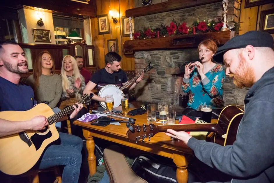
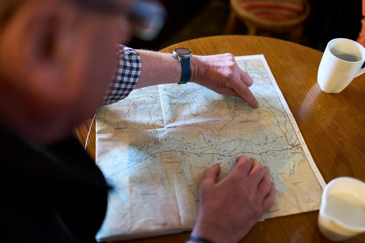
Photo Gallery