The Western Way: Galway and Mayo's Wild Walking Trail
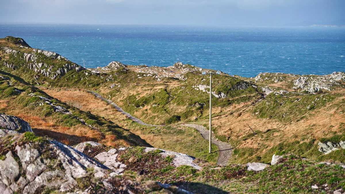
There is a moment on the Western Way, somewhere above Leenane, where you stop walking because you have to. Killary Harbour lies below you like a blade of dark water pushed inland between two mountain ranges, and there is nothing between you and it but bog, wind and a black-and-yellow waymarker. Ireland has trails with more fame and better infrastructure. It does not have many with a view like that.
The Western Way is 179km of National Waymarked Way running north from Oughterard in County Galway to Ballycastle on the north Mayo coast. It crosses Connemara, skirts Croagh Patrick, passes through Westport and finishes in one of the emptiest landscapes in western Europe. It is also, honestly, one of the more demanding Ways to organise — and that is worth knowing before you commit a week to it.
This is our guide to what the Western Way actually is, what it is like underfoot, and how to decide whether it is the right walk for you.
The Western Way at a glance
- Distance: 179km (Oughterard to Ballycastle)
- Typical duration: 7 days for the full route
- Grade: Moderate
- Counties: Galway and Mayo
- Waymarking: yellow arrow on a black background
- Galway section: Oughterard to Leenaun, 59km, around 2 days, 533m of ascent
- Mayo section: Aasleagh to Ballycastle, 130km, around 5 days, 1,350m of ascent
- Dogs: not permitted on the off-road sections
One number matters more than the rest: roughly half the route follows local roads. They are quiet roads for the most part, and in Connemara a quiet road can be spectacular. But if you are picturing seven days of mountain path, adjust the picture.
The Galway section: Oughterard to Leenaun
You start in Oughterard, an angling town on the western shore of Lough Corrib, and the first day is gentle — bohereens and forest track along the lake, with the water appearing and disappearing between the trees. The viewpoint at the Hill of Doon is the reward, looking out over Corrib and its scatter of wooded islands.
North of there the trail runs through Lackavrea forest on a long stretch of bog bridge — timber boardwalk laid across ground that would otherwise swallow you. There is a bench beside a waterfall in that forest, put there by someone who understood exactly where a walker would want to sit down. It is the best lunch spot on the Galway half.
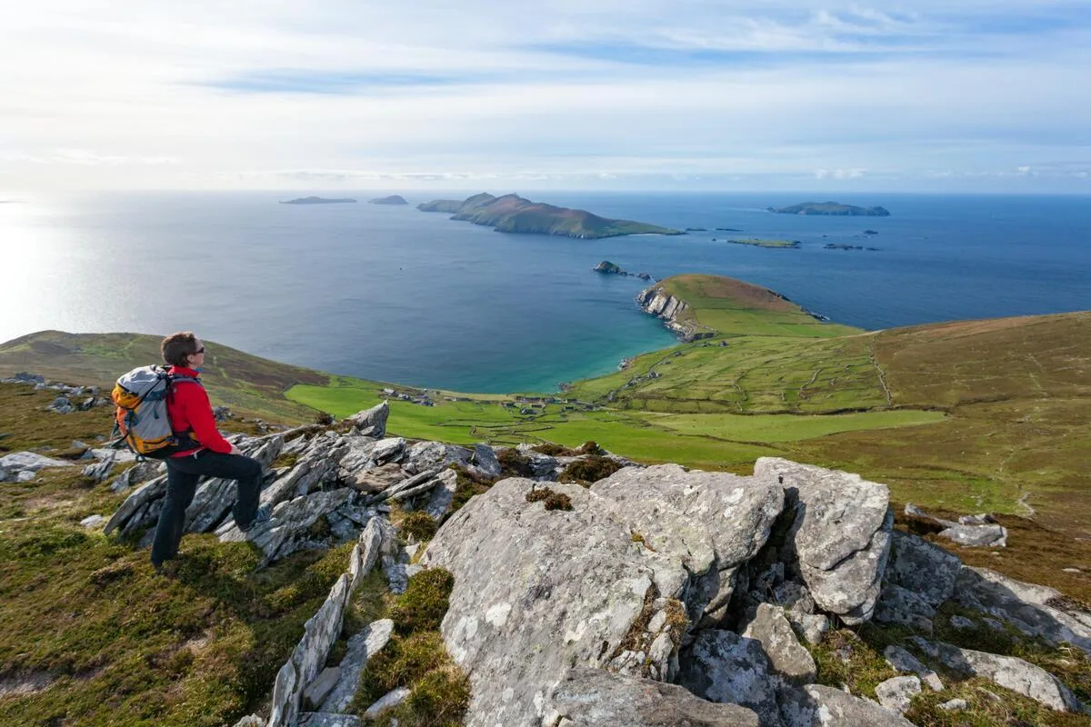
Then comes Maam, and then the section that makes the whole trail worthwhile. From Maam Bridge the Way climbs over the Maumturk Mountains by the pass of Mám Éan, a place of pilgrimage since early Christian times, with a small chapel, a holy well and a statue of St Patrick set into the saddle. On a clear day the view either side of that pass is the kind of thing you remember for years. On a wet day it is atmospheric in a way that will have you reaching for a hot whiskey in Leenane.
The descent takes you into the Inagh Valley, walking the long straight gap between the Twelve Bens on one side and the Maumturks on the other, before the final stretch down to Killary Harbour and the village of Leenane. Much of this ground was densely settled before the Great Famine. You walk past the outlines of it.
The Mayo section: Leenaun to Ballycastle
Officially the Mayo section starts at Aasleagh Falls, a few kilometres along from Leenaun, and follows the Erriff River — a genuinely lovely opening after the road walk to get there. From Tawnyard the route crosses Barnaderg, and at Sheefry Bridge you get a choice: stay on the road to Drummin, or take the waymarked high alternative past Lugacollwee Lough. The high route is the better walk by a distance and the hardest thing on the whole trail. Take it only in decent visibility; the path largely isn't one.
From there the Way traverses the eastern slopes of Croagh Patrick, Ireland's holy mountain, with Clew Bay and its hundreds of drumlin islands laid out to the north. You don't climb the Reek on the official route — but you pass close enough that walkers with a spare morning often do.
Westport is the natural halfway point and the only proper town on the route: good food, several pubs with music most nights of the week, and a bus service. North of it the Way joins the Great Western Greenway as far as Newport, which is flat, easy and pleasant.
And then it empties out. Past Lough Feeagh the trail enters the Nephin Beg range and the barony of Tirawley — the largest expanse of blanket bog in Ireland and one of the last true wildernesses in western Europe. There is a free bothy at Letterkeen. There are very few other buildings. The route crosses Bellacorick and the forested wilderness of Sheskin before dropping north to Ballycastle with the Atlantic filling the horizon ahead of you.
Being honest about the difficulties
We would not be doing our job if we told you this was a straightforward week.
Accommodation is thin. This is the real constraint. Between Oughterard and Leenaun there is almost nothing halfway, which is why many walkers do the Galway section as one very long day or start at Maam Cross. North of Newport the options are sparser still. Plan your beds before you plan anything else.
Sections close. The Western Way has had recurring closures — boardwalks, footbridges and flood damage — and some have lasted a long time. The Bellacorick-to-Ballycastle stretch has been closed on and off for years. Check thewesternway.ie and the Sport Ireland trail pages before you finalise anything, and again a week before you travel.
Public transport is limited. There is essentially none at Oughterard and very little at Leenaun. Getting yourself back to the start of a linear route through remote country takes planning or a taxi budget.
It is wet. Bog, moorland and forestry track, with fast run-off from the Connemara mountains after rain. Waterproof boots, not walking shoes.
When to walk it
May, June and September are the sweet spot. May and June give you the longest days, the driest ground and the whole west in flower; September gives you quiet trails, warm sea and the light going gold over Clew Bay. July and August are perfectly good but busier in Westport and around Croagh Patrick — and Reek Sunday, the last Sunday in July, brings thousands of pilgrims to the mountain.
Winter is not recommended. Short days, saturated bog and no accommodation open is a poor combination in country this remote.
Maps and navigation
Waymarking is generally good but there are reported gaps, particularly in Mayo. Carry paper: OSI Discovery Series sheets 23, 31, 37, 38, 44 and 45 cover the route, and EastWest Mapping publish a dedicated Western Way map for Oughterard to Westport. A GPS track on your phone is sensible; a compass you can actually use is better.
If the Western Way isn't quite right
Plenty of walkers come to us wanting Connemara — the Maumturks, the Twelve Bens, Killary, the light on the bog — without the logistics of a linear route with half its beds missing.
Our Connemara walking holidays cover the same mountains and the same coast on a self-guided basis, from five to eight days, with your accommodation booked, your bags moved between them each morning, and someone at the end of a phone if a bridge is closed or the weather turns. You walk the good bits and skip the tarmac. If you would rather have the Atlantic on your right the whole way, the Burren Way a little further south is the other side of the same coin — limestone instead of bog, and the Cliffs of Moher on foot.
Either way, we would rather point you at the right walk than sell you the wrong one. If you are set on doing the Western Way independently, do it — just book the beds first.
Frequently Asked Questions
How long does the Western Way take to walk?
Seven days for the full 179km from Oughterard to Ballycastle. The Galway section on its own takes about two days and the Mayo section about five. Many walkers do one section rather than both.
How difficult is the Western Way?
It is graded Moderate. There are no big climbs — 533m of ascent in Galway, around 1,350m in Mayo — but the ground is often wet and boggy and the remoteness makes it feel harder than the numbers suggest. The optional high route past Lugacollwee Lough is the one genuinely demanding section.
Can you walk the Western Way without camping?
Yes, but it needs careful planning. Accommodation is limited, particularly between Oughterard and Leenaun and north of Newport. Book well ahead, and be prepared to arrange transfers to and from your bed on some nights.
Is the Western Way waymarked?
Yes — a yellow arrow on a black background, the standard National Waymarked Way marker. Signage is generally reliable in Galway and less so in parts of Mayo, so carry a map.
Can I bring my dog on the Western Way?
No. Dogs are not permitted on the off-road sections, including along the Erriff River and between Sheeffry Bridge and Drummin, because the trail crosses working farmland with sheep.
What is the best part of the Western Way?
For most walkers, the crossing of Mám Éan between Maam Bridge and the Inagh Valley in Galway, and the two days between Leenane and Westport in Mayo, with Croagh Patrick and Clew Bay ahead of you.
Does Walking Holiday Ireland offer the Western Way?
Not as a fixed trail package — accommodation along the route is too limited to build a reliable self-guided itinerary. We do offer Connemara walking holidays covering the same mountains, and we are always happy to talk through a tailor-made option if the Western Way is what you have your heart set on.