Cooley Peninsula Walking Guide: Mountain Trails Above Carlingford
Ready to walk it? See our self-guided Cooley Peninsula walking holidays with luggage transfer, hand-picked B&Bs and 24/7 support.
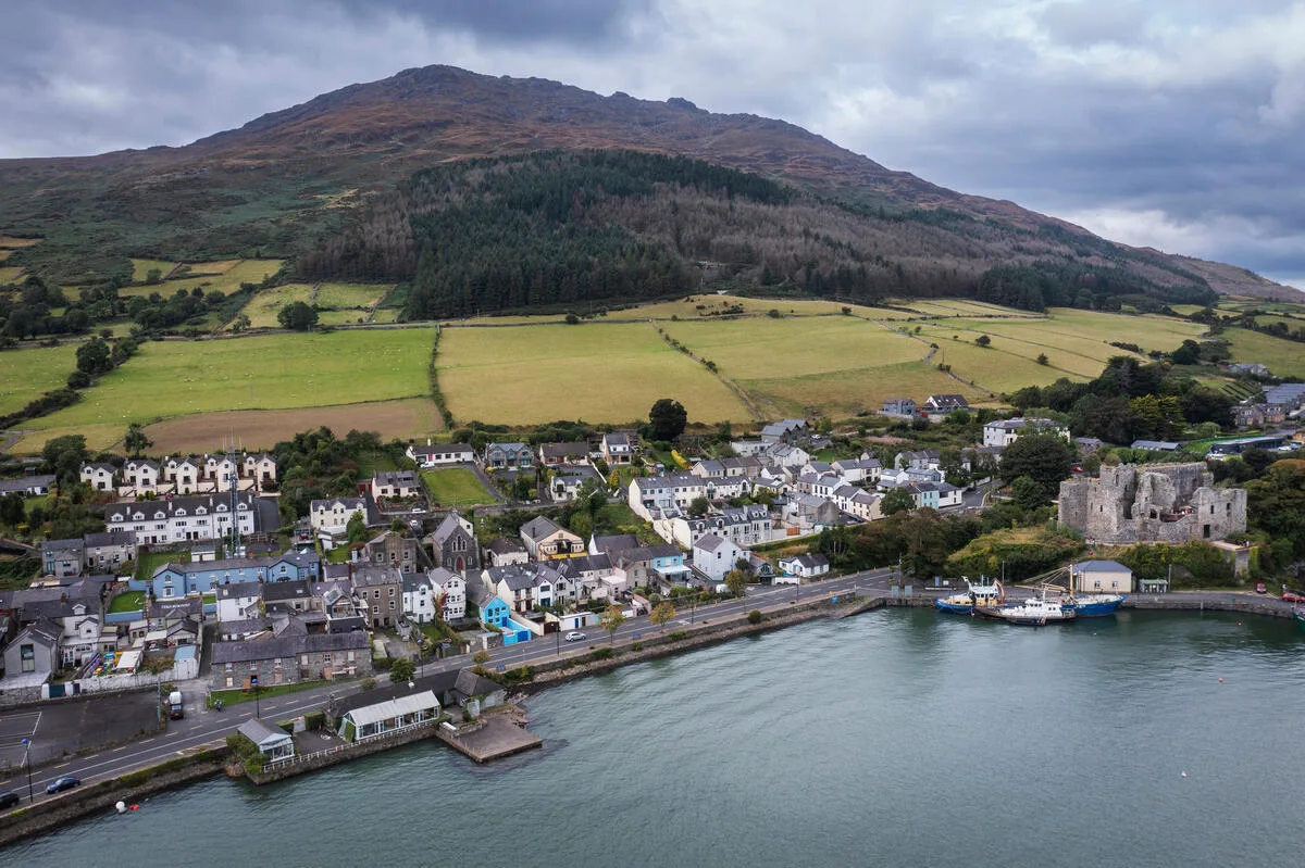
I've walked the Cooley Peninsula three times now, and each visit shows me something new. The mountains rise straight from Carlingford Lough—dramatic, accessible, and surprisingly varied. Whether you're hiking the legendary Tain Way or racing up Slieve Foye for sunset, Cooley Peninsula walks offer some of Ireland's best ridge-walking in a compact, manageable range. This guide covers the mountain trails and walking routes that make this corner of County Louth special.
Why the Cooley Peninsula for Walkers?
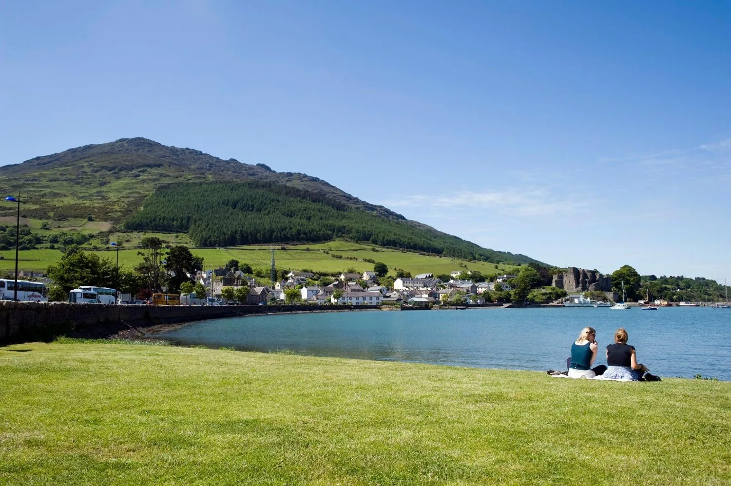
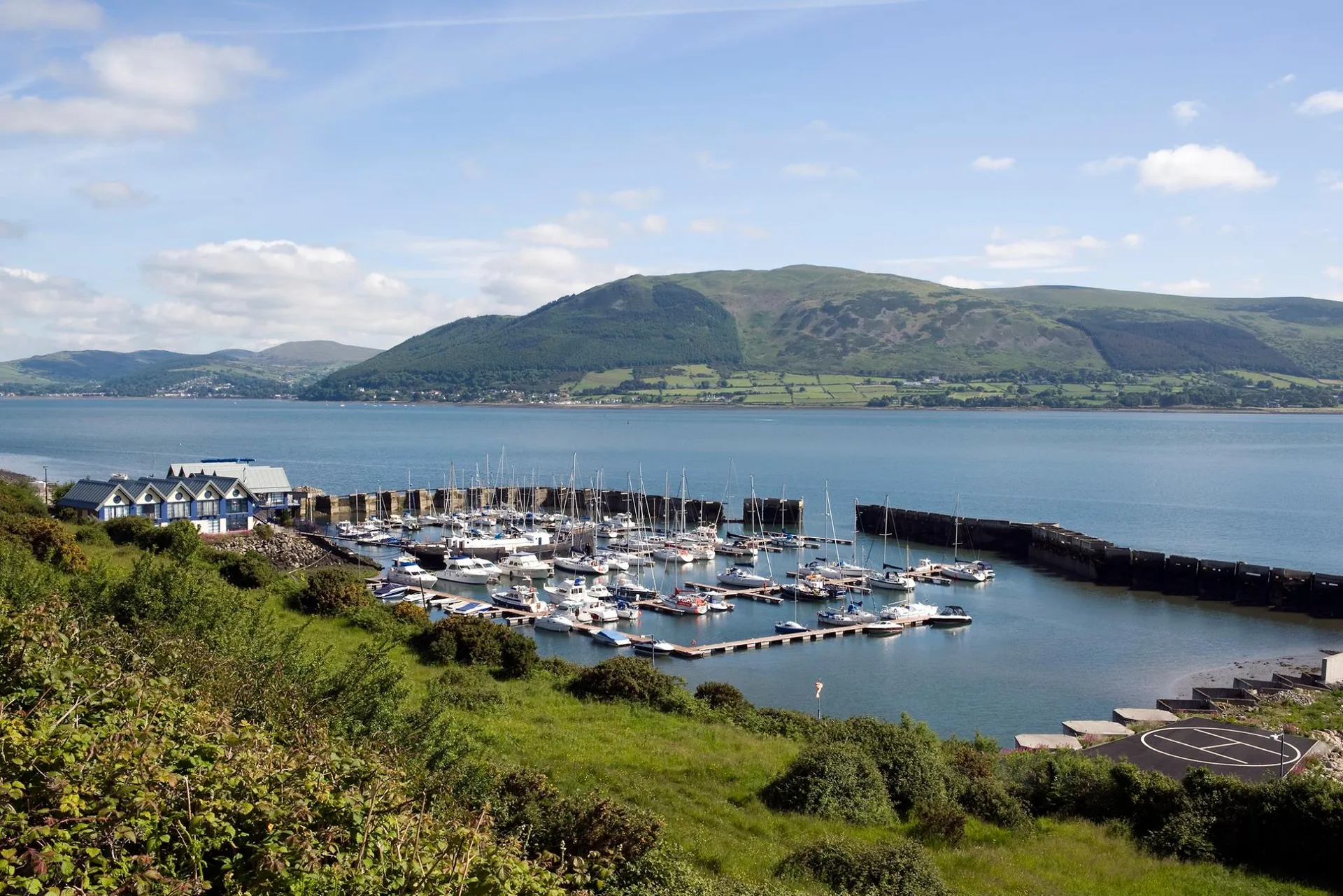
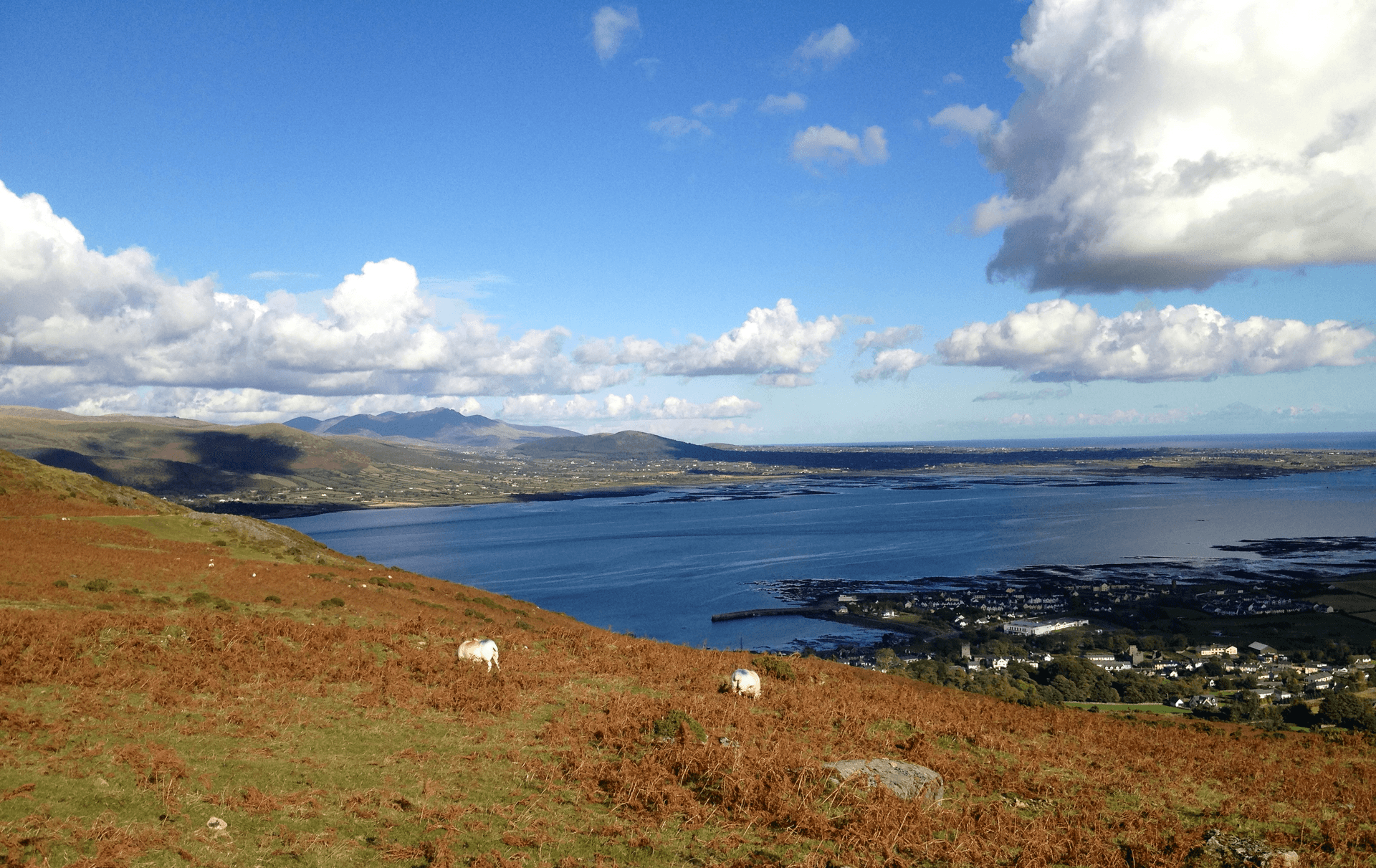
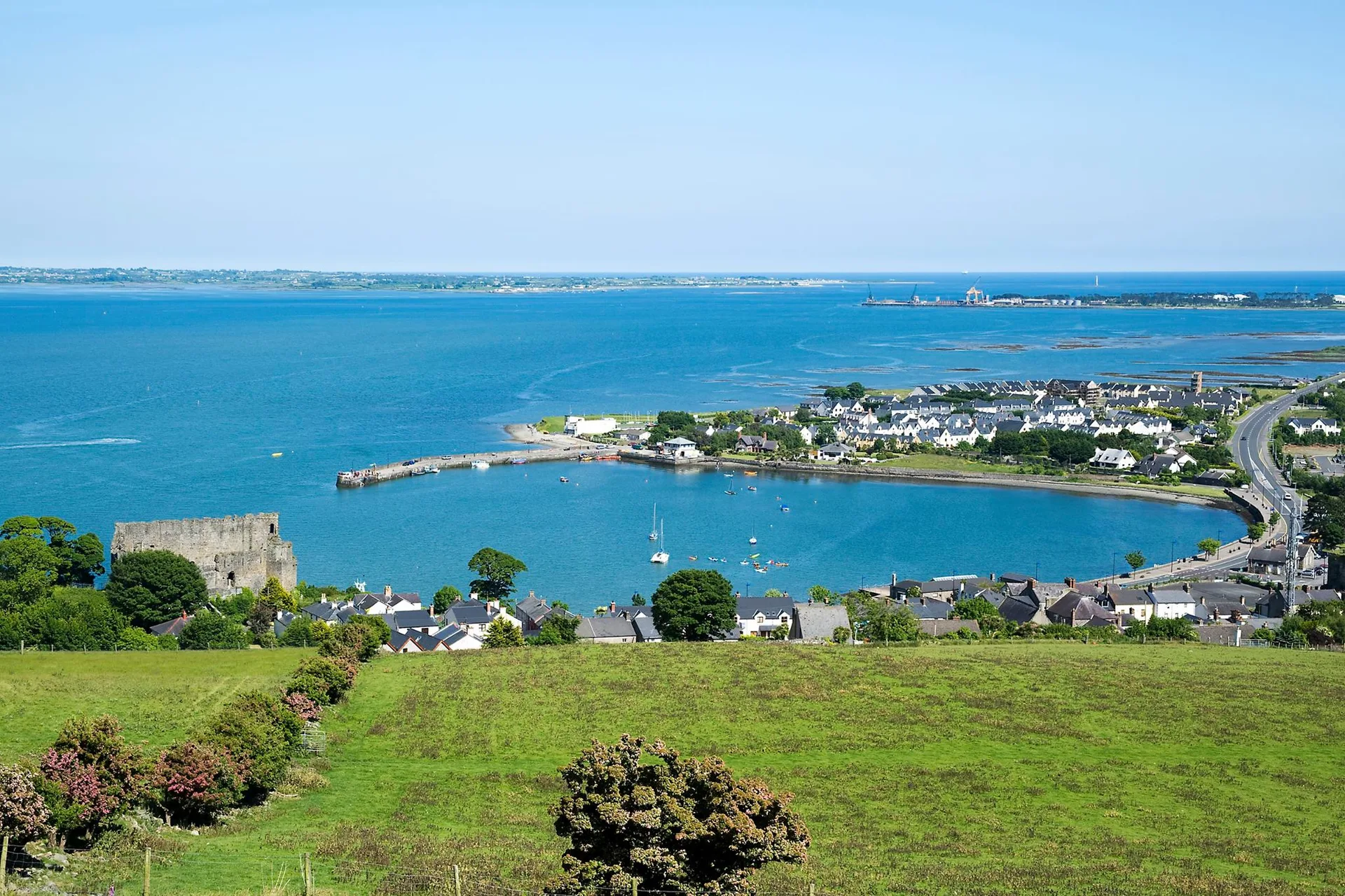
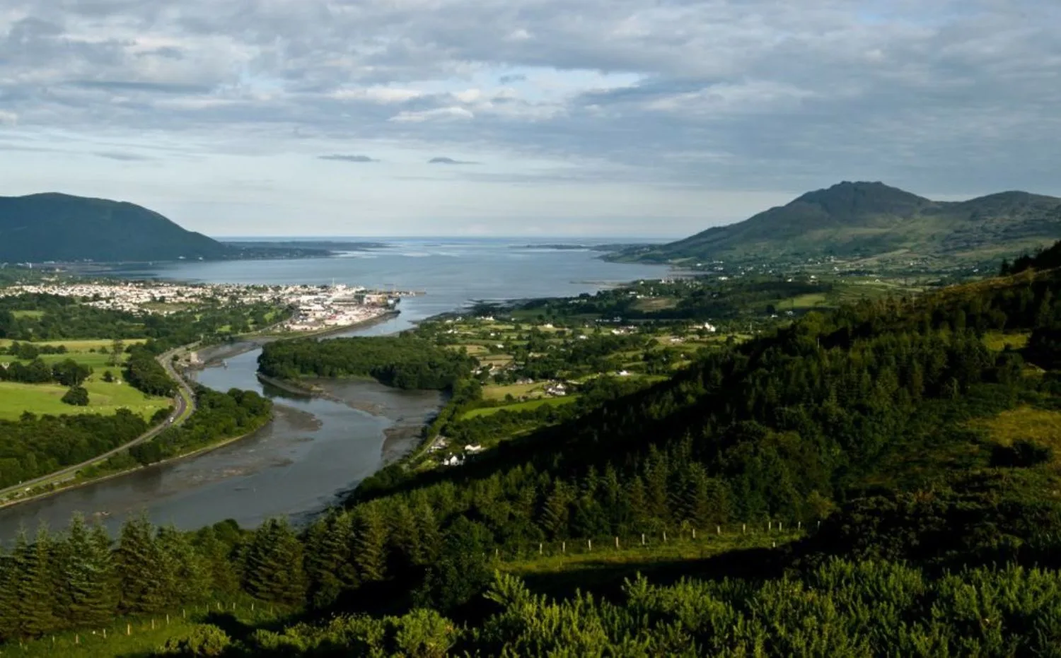
The Cooley Mountains sit tucked between Carlingford Lough and Dundalk Bay. Twelve peaks, most over 400 metres, clustered together means you can hike here for a week and never repeat a trail. The range runs just 8 kilometres north-south—compact enough for day walks and varied enough to keep you challenged.
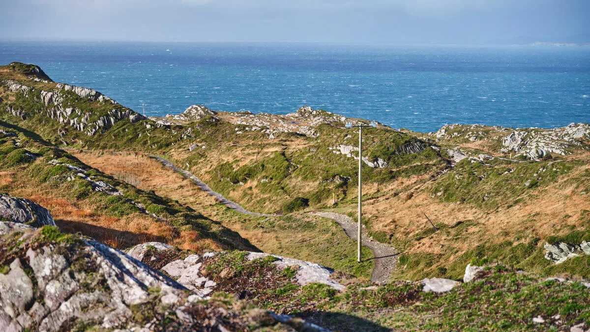
I love these hills because they're honest mountains. No false summits, no technical scrambling, no crowds. The views span from Slieve Gullion to the southwest right across to the Mourne Mountains—on clear days, you see Scotland's coast too. The lough water below shifts colour with the weather: slate grey in wind, brilliant blue on sunny afternoons.
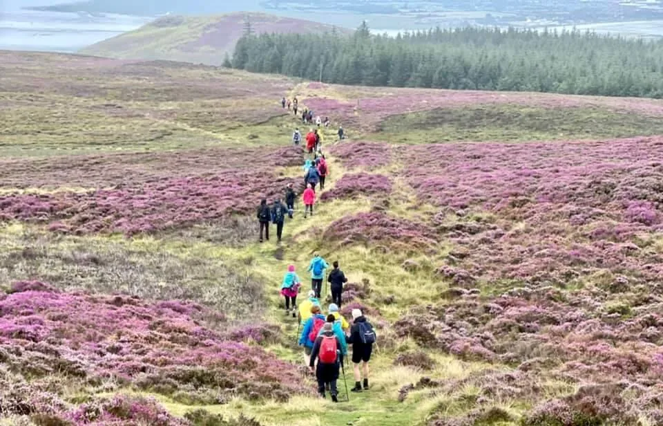
The Tain Way: 40km Loop from Carlingford
The Tain Way is the long-distance classic—a 40-kilometre loop that wraps around the entire peninsula. It takes two or three days to walk. Start at Carlingford Village, following the old greenway along the lough shore. The second day takes you into the proper mountains through Slieve Foye, Black Mountain, and Clermont Carn in sequence.
The Tain Way takes its name from the ancient Ulster Cycle—a Medieval Irish epic. Duration: 8-10 hours per day. Difficulty: Intermediate.
Slieve Foy: The Best Single-Day Walk
If you've only got a few hours, Slieve Foye is the obvious choice. It's the highest peak in the Cooley range at 589 metres, and the ascent from Carlingford is steep but short—about 2.5 hours up, 1.5 hours down.
On a clear day the view from the summit is exceptional. I stood up there last September with zero clouds, watching the sun catch the Mournes, and I couldn't think of anywhere else I'd rather be. Total time: 4 hours, including a summit break.
Black Mountain and Clermont Carn
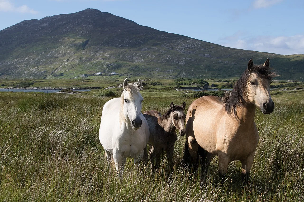
Black Mountain (533m) and Clermont Carn (548m) sit at the northern end of the main ridge. The approach starts near Carlingford, climbing through Faughart Forest. On my last visit, a pair of Sika deer watched me from 50 metres away before ambling off into a cloud bank.
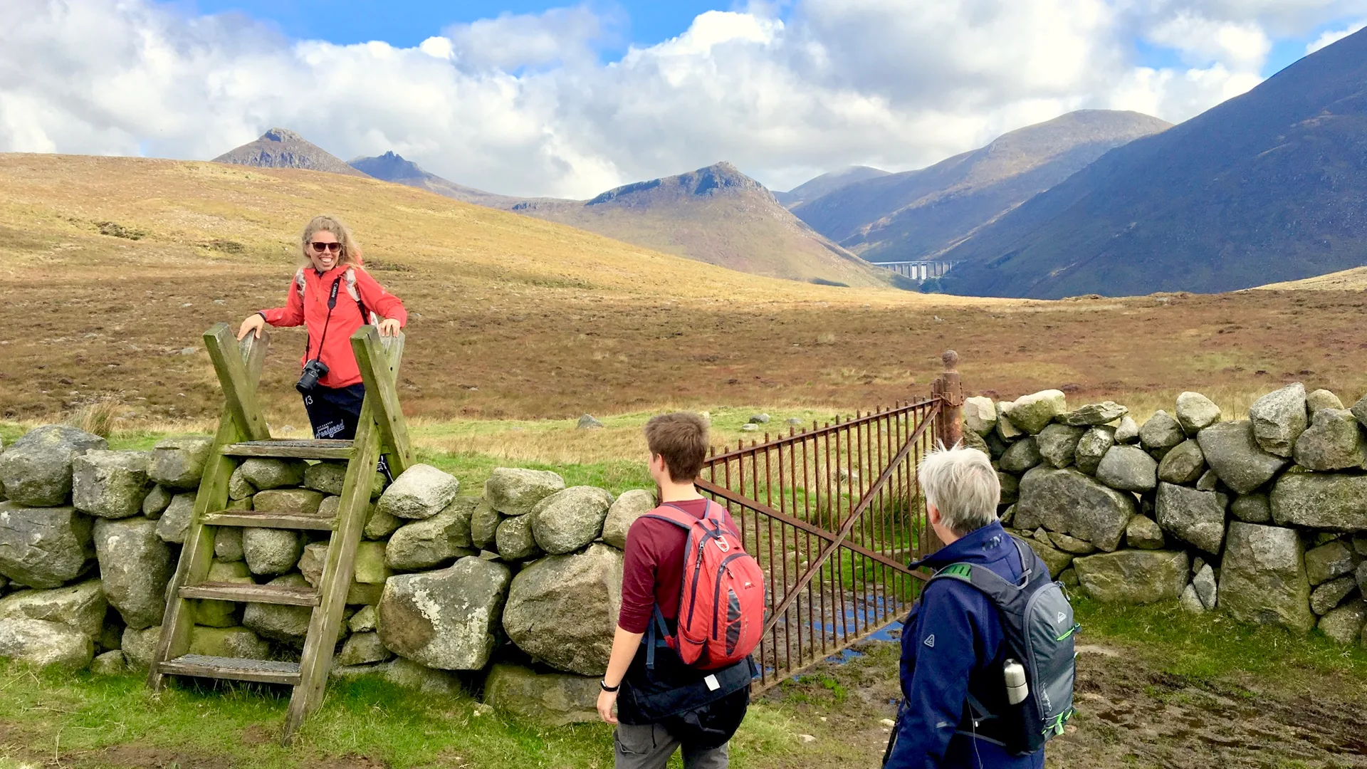
Cooley Ridge Walks: Connecting the Peaks
The main ridge circuit connects Slieve Foye, Hennessy's Height (548m), Black Mountain, and Clermont Carn. The full circuit is a superb full-day outing for intermediate to advanced walkers. Weather changes fast—bring a map and a compass.
Cooley Peninsula Walks at a Glance
Walk | Distance | Time | Difficulty |
|---|---|---|---|
Slieve Foye only | 6 km | 4 hours | Intermediate |
Black Mountain | 8 km | 5 hours | Intermediate |
Black Mountain + Clermont Carn | 12 km | 6-7 hours | Intermediate |
Main ridge circuit (4 peaks) | 15 km | 8-9 hours | Advanced |
Tain Way (full loop) | 40 km | 16-20 hours (2 days) | Intermediate |
Cooley foothills (gentle) | 8-10 km | 3-4 hours | Easy |
Practical Information
Location: Carlingford is about 90 minutes from Dublin via the M1. Free parking at the Mountain Car Park.
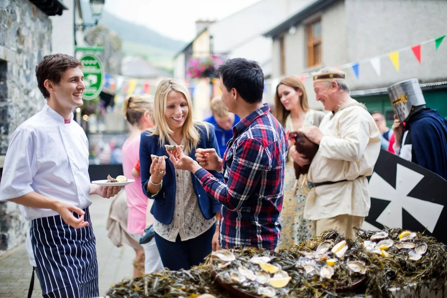
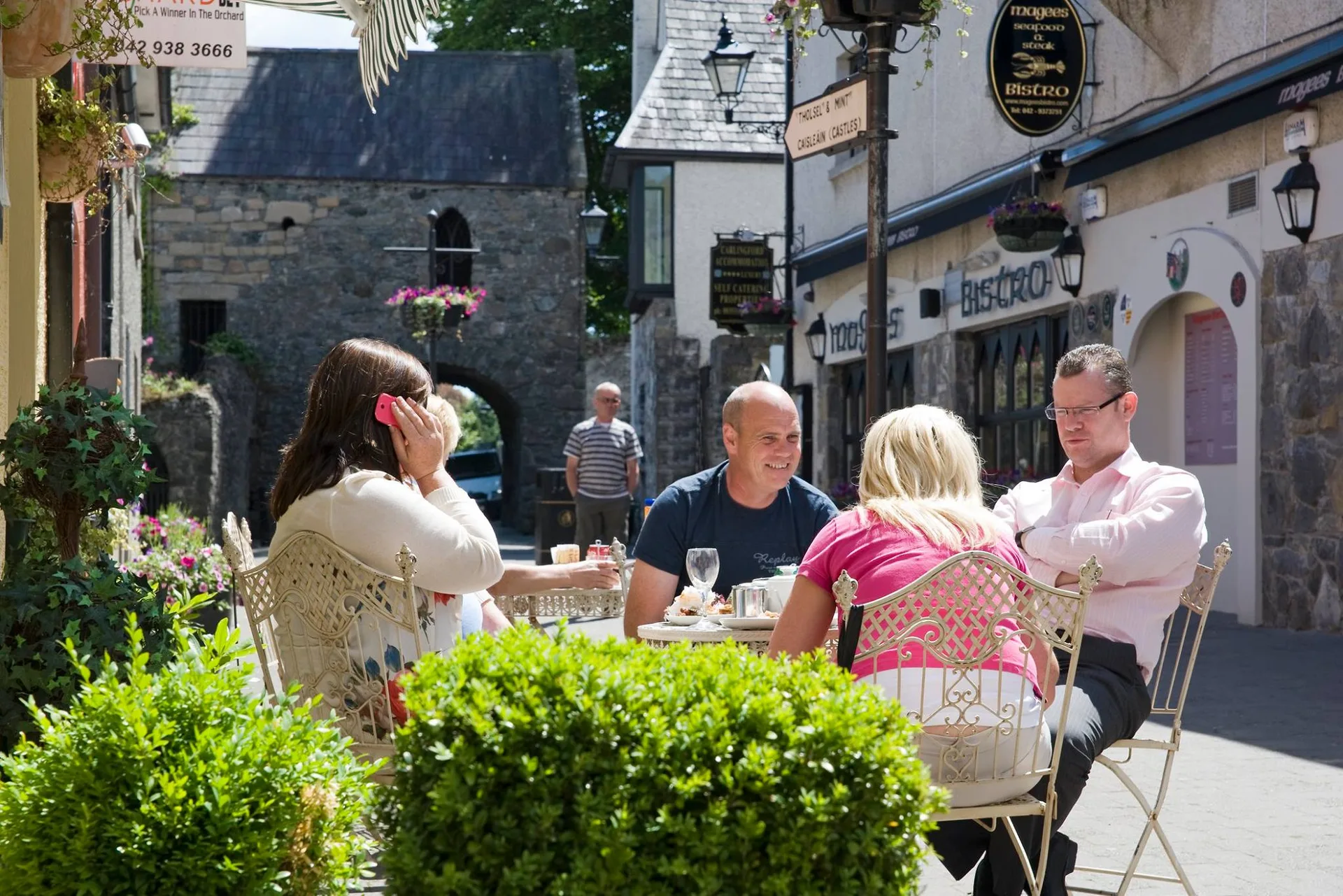
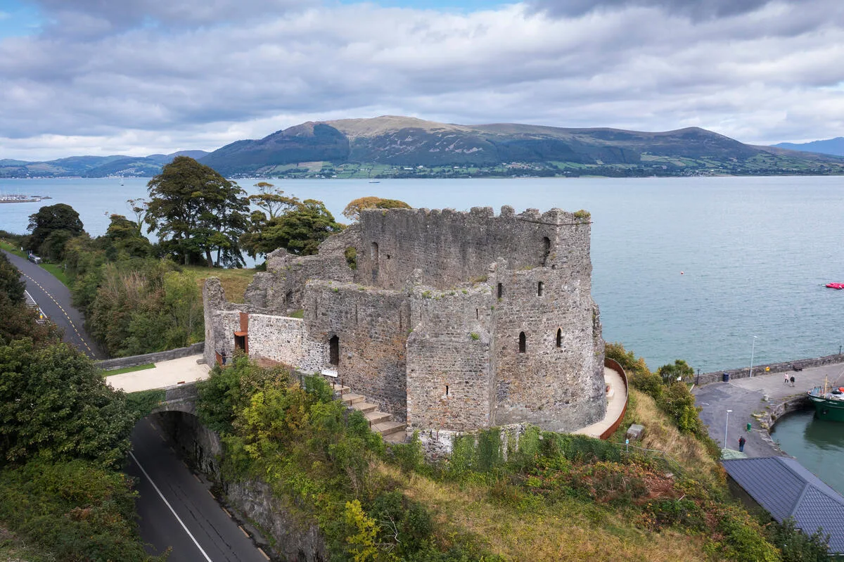
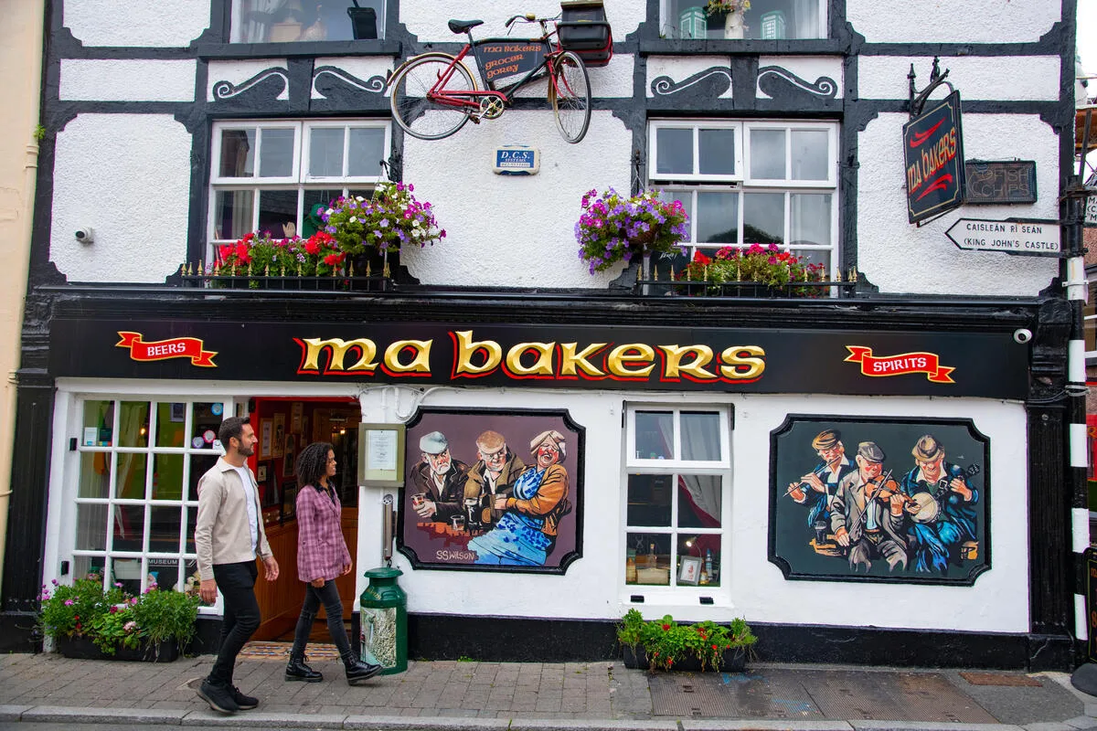
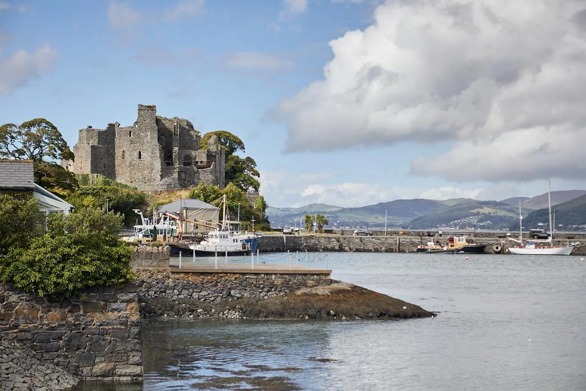
Accommodation: Small hotels, guesthouses, and Airbnbs in Carlingford. For village detail, see the Carlingford guide.
Fitness: Slieve Foye suits anyone with reasonable hill-walking experience. A full ridge needs intermediate fitness. Consider our guided Cooley & Mournes 6-day tour.
Gear: good hiking boots, waterproofs, and a headtorch. See our packing checklist.
Season: April through September. See the best time to visit Ireland.
Planning Your Trip
Combine Cooley with the Mourne Mountains via our 7-day tour. Check our Cooley & Mournes area and grading system.
Frequently Asked Questions
Can I walk Cooley Peninsula trails solo?
Yes. The trails are well-marked and busy enough on weekends. Tell someone where you're going and carry a map.
Do I need to book Carlingford accommodation ahead?
In the summer, book 4–6 weeks ahead. May and September are busier than expected. Winter offers last-minute availability.
What's the difference between the Tain Way and day hikes?
The Tain Way is a 40km loop taking two full days. Day hikes like Slieve Foye are shorter summit-focused walks. The Tain Way tells the story of the peninsula as a whole circuit.
Is there easier walking besides the summits?
Yes. The foothills around Omeath and the Omeath-Carlingford Greenway are completely flat and spectacular along the lough.
What fitness level do I need?
Slieve Foye suits moderate fitness. The full ridge circuit needs intermediate fitness for 8 hours on uneven terrain. Start with Slieve Foye and build from there.
Ready to Explore Cooley Peninsula Walks?
Get in touch—we know these hills well. Or explore our guided Cooley & Mournes tours.
Photo Gallery